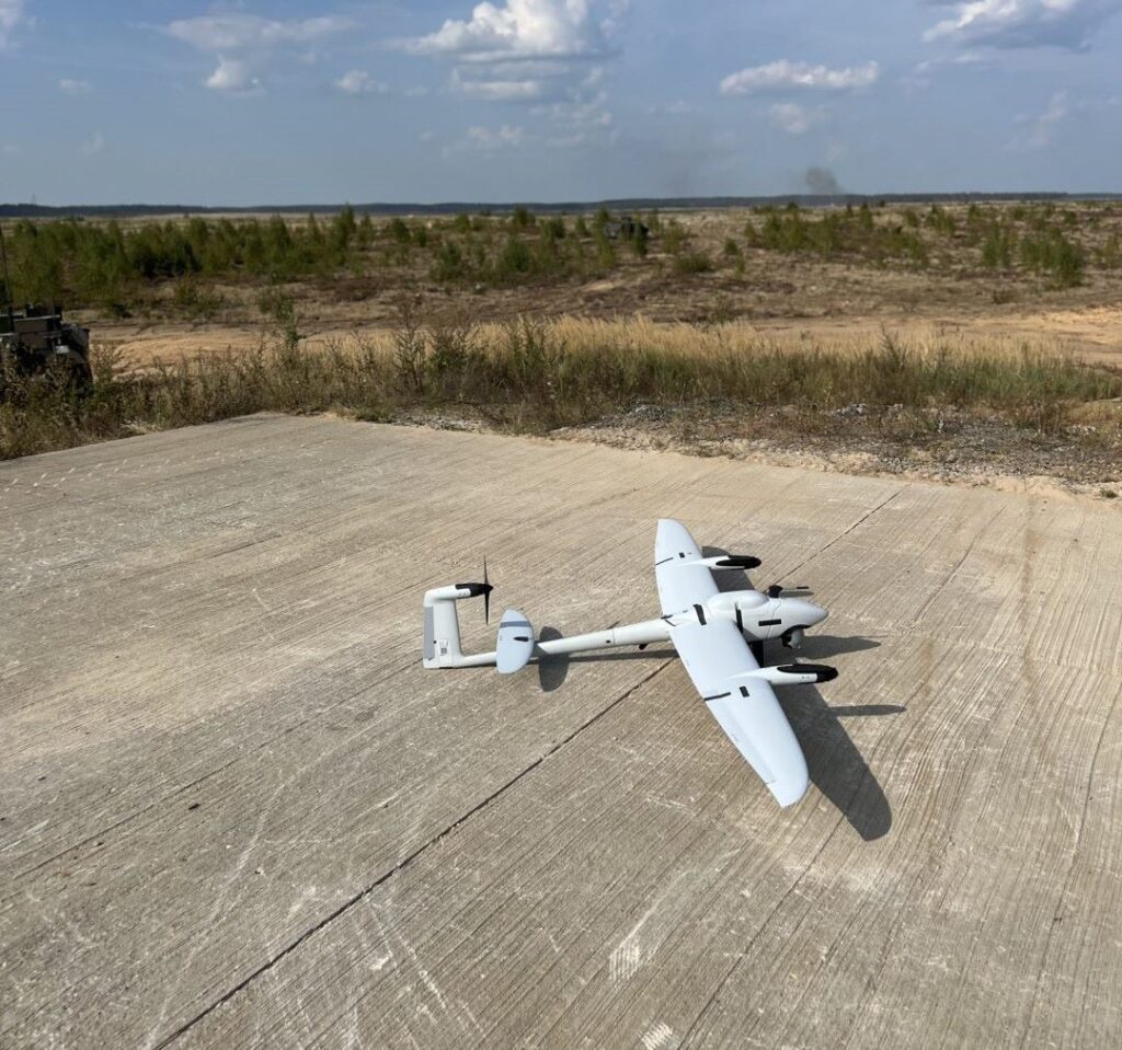
Explore our use cases to see how Quantum Systems technology is shaping the future of aerial operations across industries and missions.
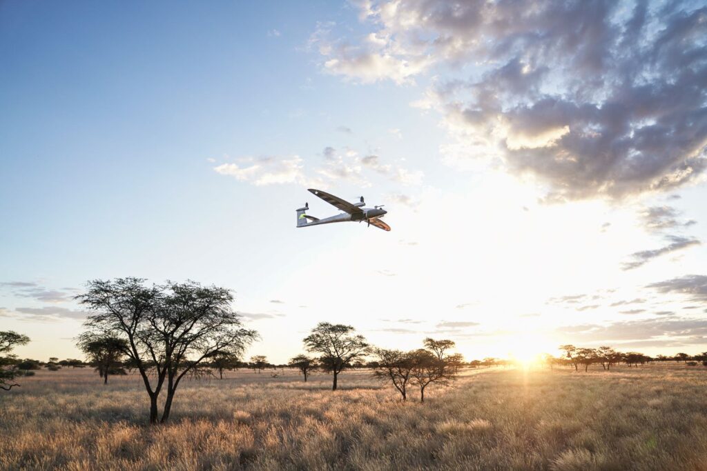
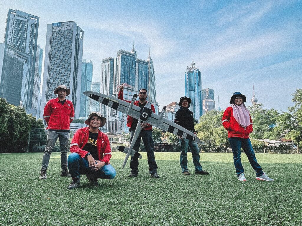
Our drones are trusted worldwide for both commercial and governmental missions. From agriculture, forestry, and utilities to defense, security, and public safety, our UAV systems deliver reliable aerial data that drives smarter decisions and greater efficiency.
In commercial sectors, drones support large-scale surveying, mapping, and monitoring, helping industries reduce costs and improve workflows. In government and defense, they provide unmatched capabilities for intelligence, surveillance, reconnaissance, and disaster response.
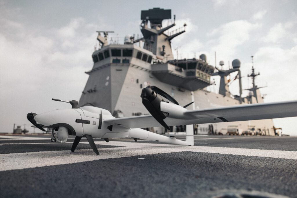
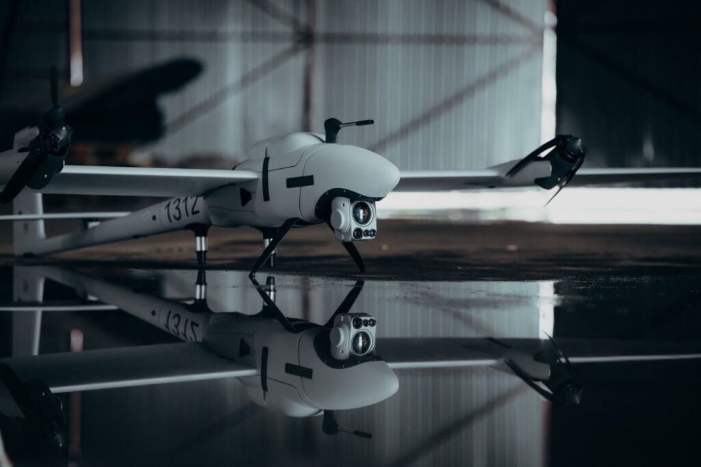
Discover how Vector drones, equipped with advanced aerial imaging technology, revolutionize disaster control by providing real-time situational awareness and enhancing coordination in critical rescue operations.