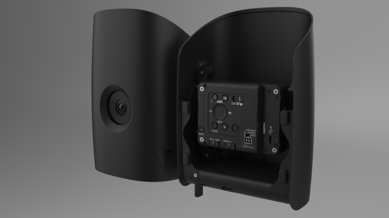
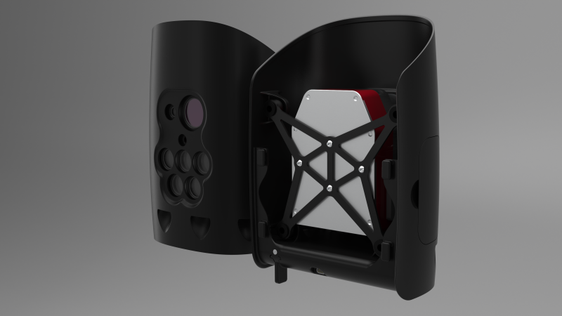
Qube 240
LiDAR Scanner
The Qube 240 is a geomatics grade LiDAR sensor that provides essential information for surveying and mapping by generating an accurate point cloud of the processed environment through 240,000 distance measurements per second. It generates precise 3D information about the shape of the Earth and its surface characteristics that can be used for various defense applications, such as urban and non-urban mission planning and aiding in mine countermeasures, even at night.
Technical Specifications
Wavelength
905 nm (Class 1, Eye Safe)
Maximum altitude
140 m AGL
Suggested altitude
100m AGL
Precision
1.8 – 2.5 cm (0.7 – 0.98 in)
Precision, also called reproducibility or repeatability, accounts for the variation in successive measurements taken on the same target. Depends on altitude AGL.
Accuracy
3 cm (<1 in)
Accuracy is the degree of conformity of a measured position to its actual/ true value.
Scanner field of view
70°
Shots per second
240,000
Point density @100 m
50 -100 points/m²
Multi-echo technology
up to 3 echoes per shot
Payload weight (ready to fly)
948.7 g
Flight time
60 minutes
Sample data
Flight altitude
80 m (262 ft) AGL
Flight speed
64 km/h
GSD
118 pts/sqm